88.6km
5 days, 4 nights
Queensland
September 2024
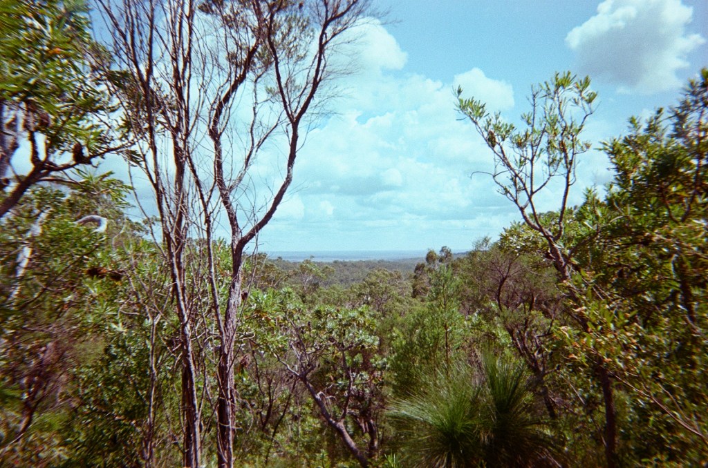
Stretching from Rainbow Beach to Noosa Northshore, the Cooloola Great Walk is a wondrous exploration of rainforest, bush, sandblows, river, and coastline through the Great Sandy National Park. On our trip, we had the privilege of walking across Kabi Kabi country and pay our respects to the aeons of Aboriginal knowledge, traditional and culture that have preserved this beautiful country. There is archaeological evidence that Aboriginal peoples have been living in the area for at least 5000 years but possibly much longer (Queensland Government, 2020), and on this walk you can feel connected to the spirit and the history of those who were here long before us!
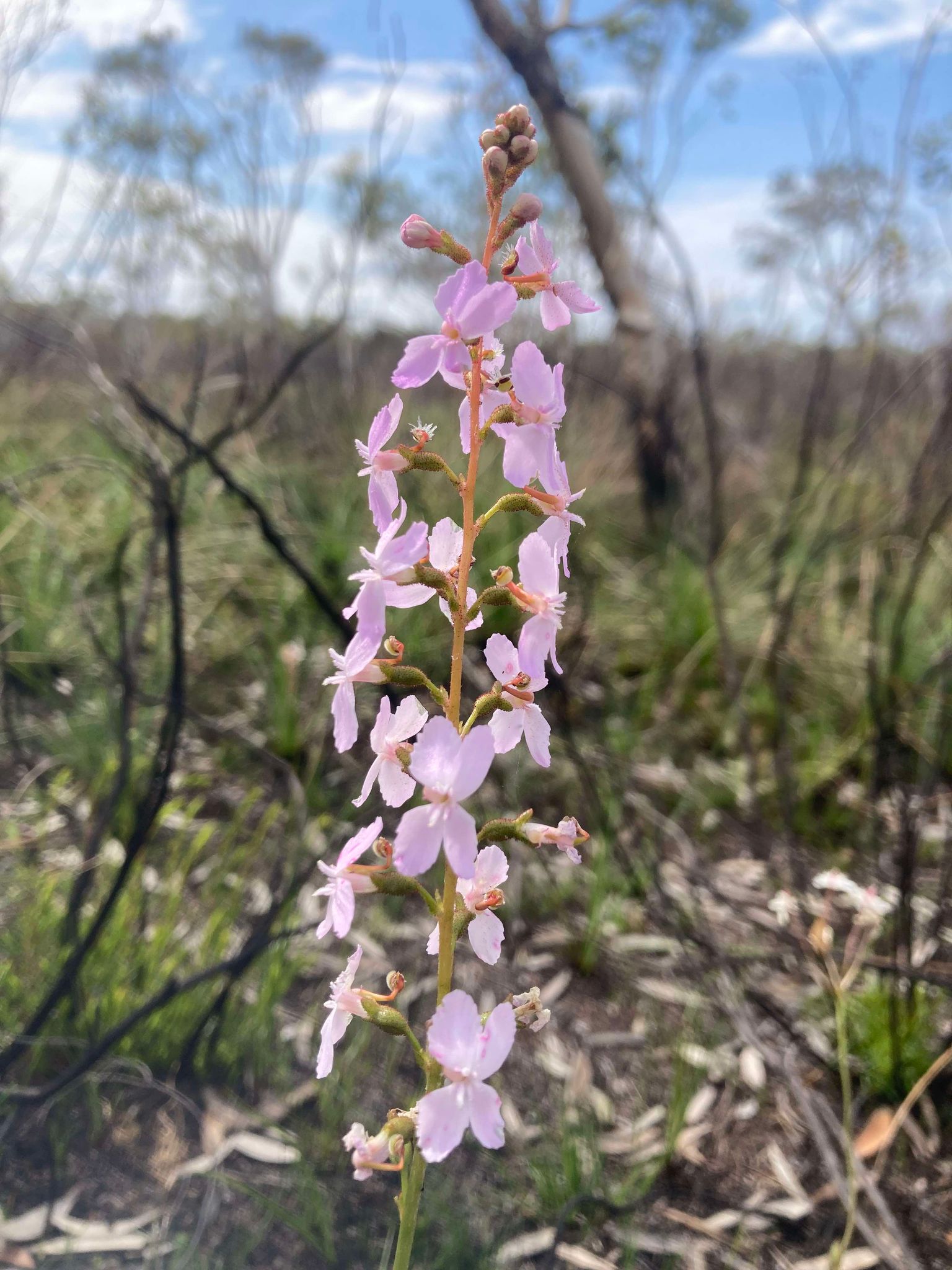
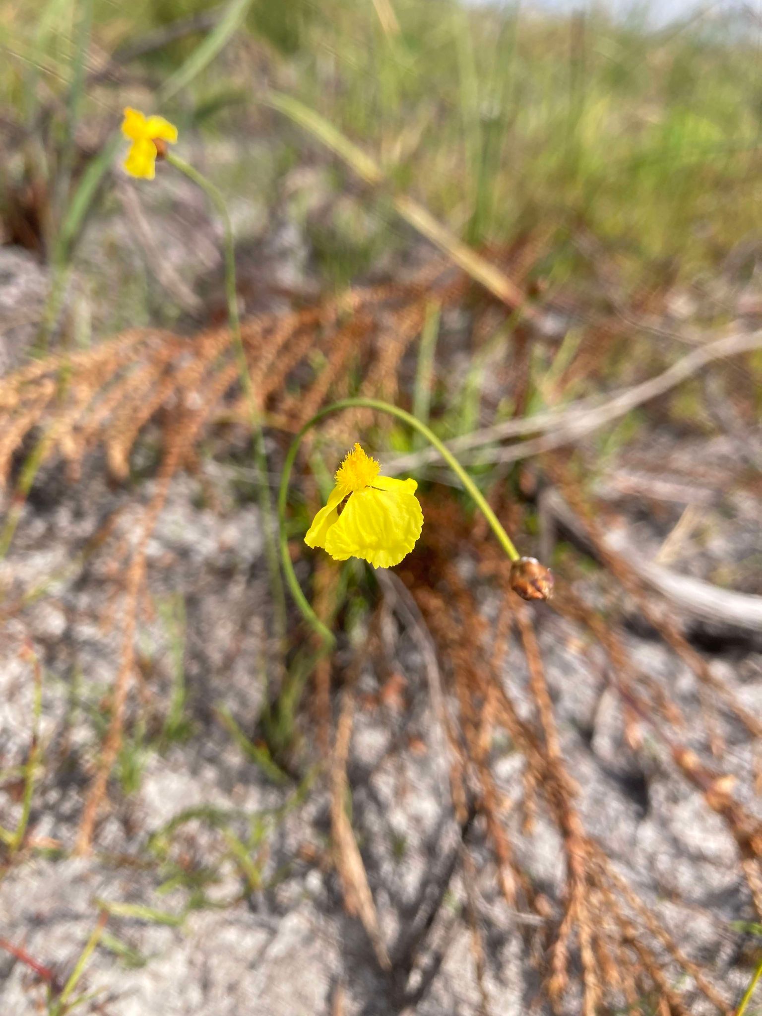
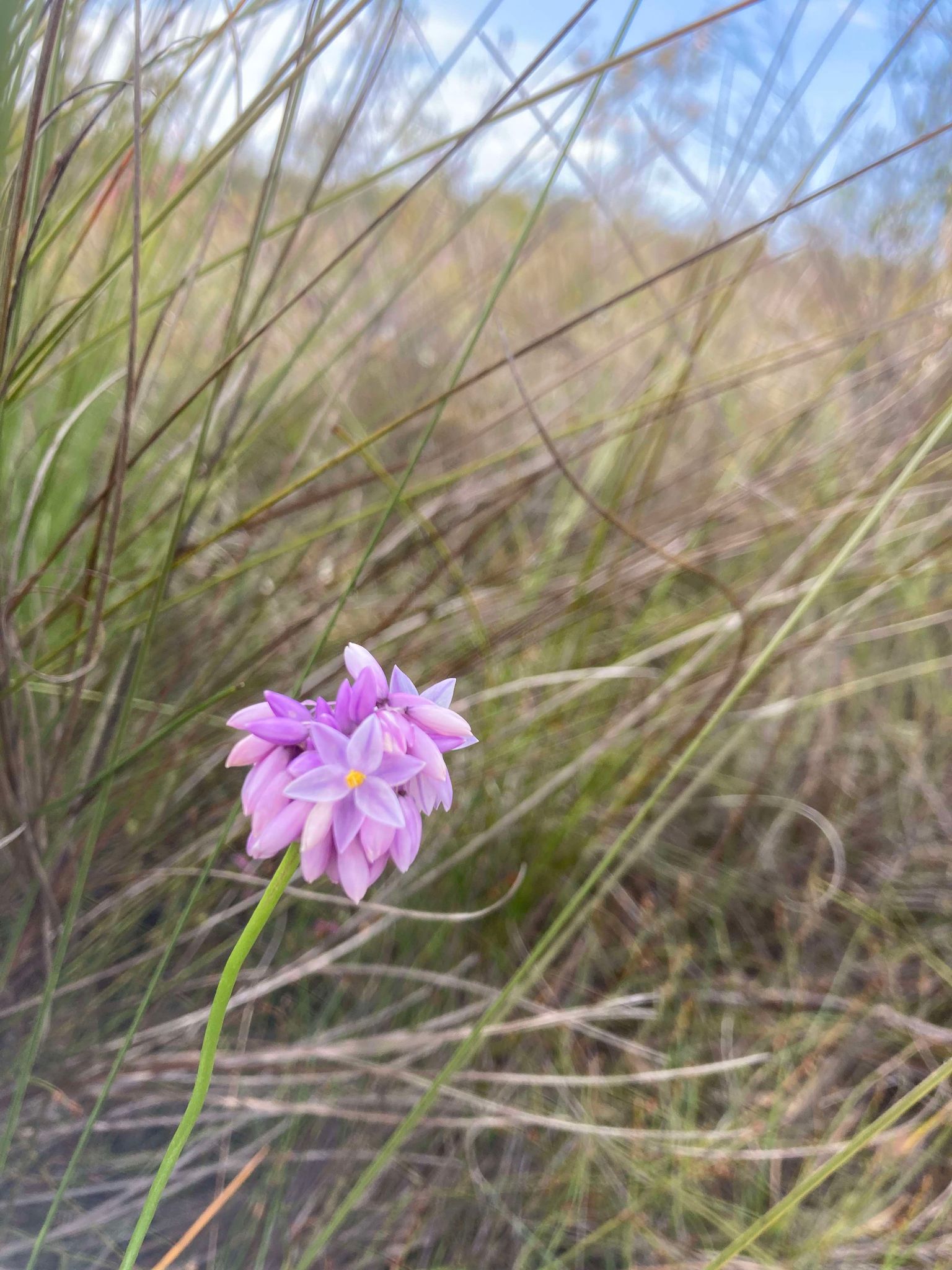
We loved this walk for its diversity and unique combination of rainforest, beach and coastal bush, and opportunities for swimming at the freshwater lake, river and ocean. It appealed to those in our group who enjoy experiential and beautiful small details in their bush walking, but eventually opened into vistas-galore for our hikers who live for the big views. We did the walk in September which was a little warm, but would absolutely recommend for the migrating whales and the beautiful spring wildflowers!
What’s Ahead:
Click the links to jump ahead:
- Getting to and from the Trail
- Planned Route
- Navigation & Safety
- Packing List
- Day 1: QPWS Office Rainbow Beach to Kauri Walkers’ Camp
- Day 2: Kauri Walkers’ Camp to Litoria Walkers’ Camp
- Day 3: Litoria Walkers’ Camp to Dutgee Walkers’ Camp
- Day 4: Dutgee Walkers’ Camp to Brahminy Walkers’ Camp
- Day 5: Brahminy Walkers’ Camp to QPWS Noosa
- Reflections: Peaks & Pits
Getting to and from the Trail
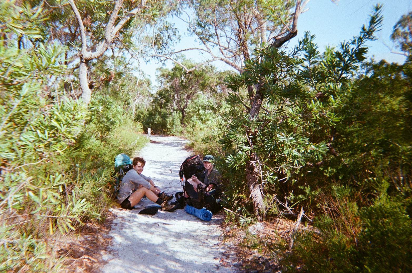
As a through-hike, this trip required some planning to organise a car drop at either end. With the plan to walk the hike North to South, we drove two cars to the Queensland Parks and Wildlife Service office at Noosa Northshore, before travelling in the second car to Rainbow Beach. If you do the same, don’t forget to leave clothes and toiletries you’ll need after you finished the hike in the car at the end point of the walk! We parked in the QPWS carpark and let the rangers know we were leaving the car and our expected return date.
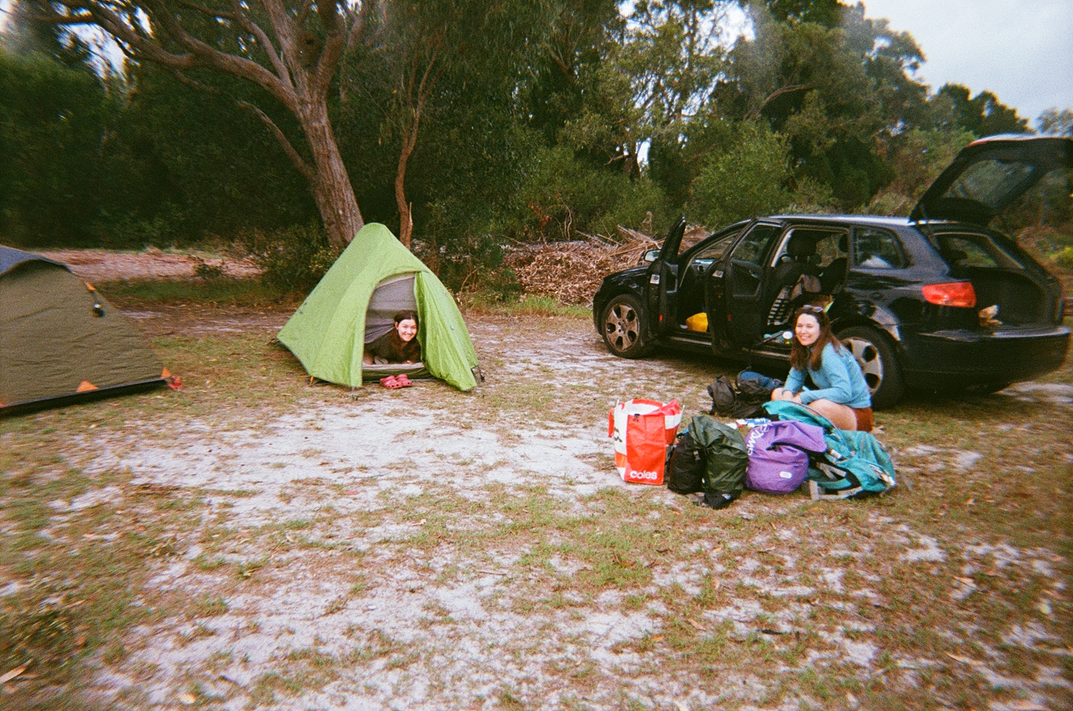
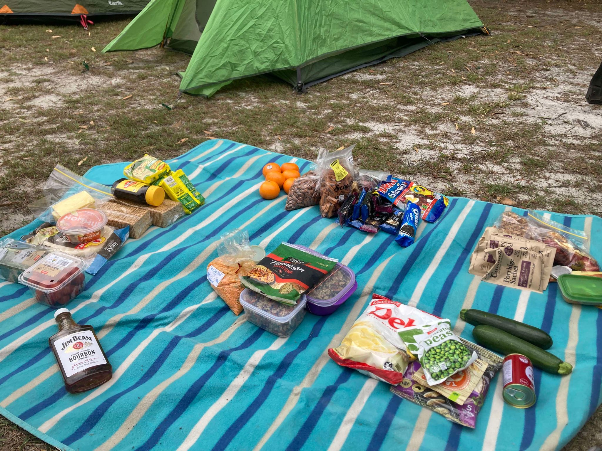
The car drop took about half a day of driving, so we opted to stay in an unpowered site at Big4 Breeze Rainbow Beach the night before starting the hike. The site was $61/night during school holidays and offered camp kitchens to cook, as well as a pizza truck (we got pizza but unsure if this would be available outside of school holidays). We made a final check of all equipment, supplies and food, and had an early night to start walking in the morning.
Planned Route
The Cooloola Great Walk can either be done using the inland route (88.6km approx) or the coastal route (102km approx). We opted for the inland route for some shorter days, to escape the sun and more diversity in the walking environment.
We also made the choice to walk the route North to South after reading reviews that it was easier to walk this direction. We were ultimately happy with this decision, feeling that we would have struggled walking South to North which would have included walking large sections uphill (such as walking up the Cooloola Sandpatch) and we felt our route didn’t compromise on the stunning views and experiences the walk has to offer.
Generally speaking, the expected distances were fairly accurate. However, some days our records reported slightly longer journeys – see below for details.
| Journey | Expected Distance | Measured Distance (Garmin watch) | |
| Day 1 | QPWS Rainbow Beach to Kauri Walkers’ Camp | 15.6km | 17.8km |
| Day 2 | Kauri Walkers’ Camp to Litoria Walkers’ Camp | 20.5km | 20.8km |
| Day 3 | Litoria Walkers’ Camp to Dutgee Walkers’ Camp | 15km | 15km |
| Day 4 | Dutgee Walkers’ Camp to Brahminy Walkers’ Camp | 20.3km | 21.8km |
| Day 5 | Brahminy Walkers’ Camp to QPWS Noosa | 17.3km walk on track + 2.8km to ferry | 21.3km |
Navigation & Safety:
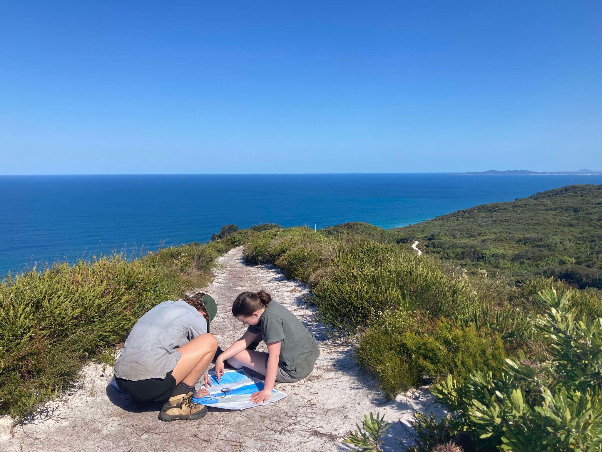
This walk is very self-explanatory in terms of navigation as the path is clearly marked throughout. The only exception is when crossing the Cooloola Sandpatch. We found this fairly straightforward with the help of our trusty compass, but some of our fellow hikers did get lost on the Sandpatch. It’s recommended that you take a compass even if just for the Sandpatch crossing as it’s easy enough to lose your way in the sand.
There are several maps available through the QPWS website and QPWS office. We purchased the World Wide Map from K2 Basecamp in Brisbane, and then also purchased the Great Walk map at the QPWS Noosa Northshore office.
The World Wide Map had more detailed topographic information, however we really liked the track profile tool on the Great!Walk Map which shows the elevation and sun exposure during the walk which gave us more information on what to expect of the day ahead.
Packing List:
| GEAR: Hiking pack (60-70L) Dry bags Water bladder/drink bottles (at least 3L) Waterproof pack cover Sleeping bag Sleeping mat Sleeping bag liner Tent Headtorch + batteries Electrical tape Shovel Microfibre towel Map Compass | FIRST AID & SAFETY: Personal Location Beacon (PLB) Bug repellent Snake bite bandage Bandaids Blister kits Hand sanitiser Pain killers/Analgesia Antihistamine Sports tape Tweezers Scissors Antiseptic cream Alcohol wipes |
| COOKING: Tea towel Washing up liquid and sponge Gas stove and cookwear Gas/butane canister Matches/lighter Cup/mug Spork Plate/bowl Sharp knife Chopping board Garbage bag | CLOTHING: Hiking shirt Hiking pants/shorts Thermal top and bottom T shirt for camp Pants for camp Fleece Rain jacket/poncho 2x sports bra 2x hiking socks 1x camp socks Hiking boots/trail runners Camp shoes (crocs/sandals) Hat Sunnies |
| TOILETRIES: Toothbrush Toothpaste Hairbrush Sunscreen Hand sanitiser Toilet paper Vasoline (as lip balm and to help with chaffing) | OPTIONAL: Tarp/ropes Walking poles Book Camera Binoculars Art supplies Bathers/swimmers Pillow Power bank Face wash and moisturiser |
Day 1: QPWS Office Rainbow Beach to Kauri Walkers’ Camp
Distance: 15.6km
Duration: 7 hours
Highlights: Carlo’s Sandblow, Poona Lake
Animals spotted: Birds, snake, goanna, butterflies
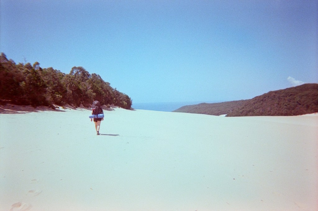
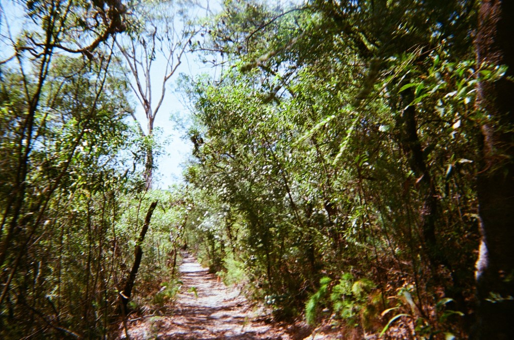
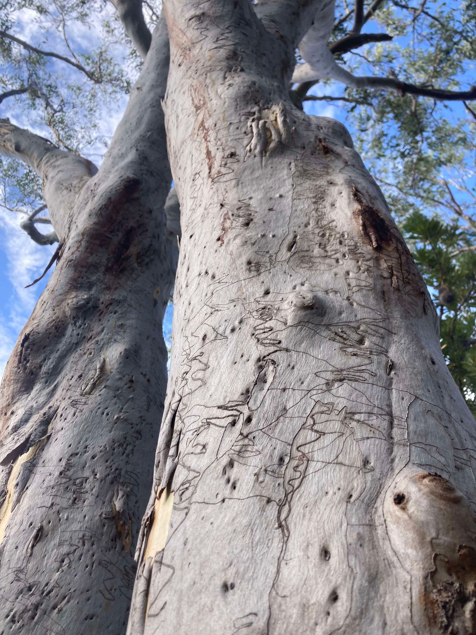
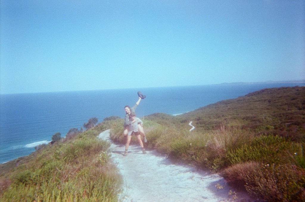
We left a car at the QPWS office at Rainbow beach and joined the track from there. After a short walk through woodland we appeared at Carlo’s Sandblow. Our route from the QPWS Office meant we didn’t have to cross the Sandblow, so we dropped our packs and went to explore without being weighed down. Carlo’s Sandblow opens up into incredible sand dunes and a beautiful outlook over the ocean and around the coast to Double Island Point. After a quick break for snacks and a view, we continued on the track through a mixture of bush and rainforest.
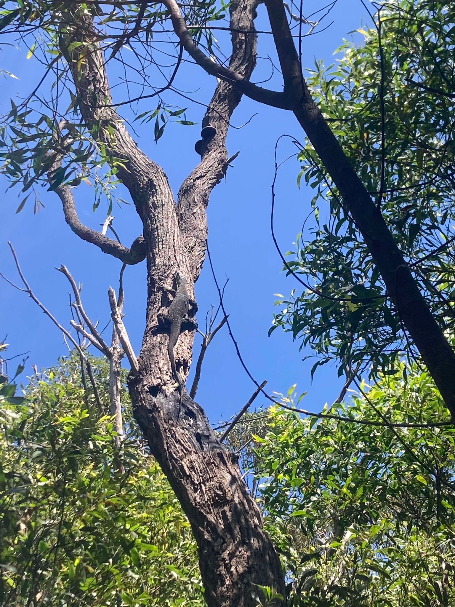
We took a lunch break at Poona Lake and had a swim and a rest. The tea-tree stained water was beautifully cold and a nice refresh before the remaining uphill climb to Kauri Walkers’ Camp. We did hear from other day-trippers that they had seen a snake near the lake, and just after leaving we came across a baby Eastern Brown (we think) on the track – be mindful that snakes come to the lake for water and snacks (frogs). Overall, the first day track involved lots of uphill sections with some steep spots, including approx 1.4km uphill at the end to make it to Kauri Walkers’ Camp. We saw plenty of rainforest with the iconic strangler figs, and also large kauri pines.
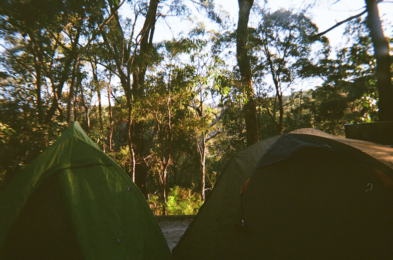
Kauri Walkers Camp:
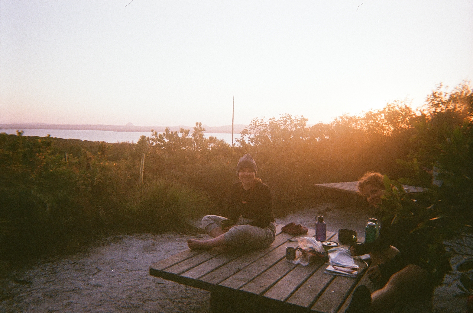
Kauri Walkers’ Camp has a drop toilet and a water tank. The campsite is lovely and secluded, enclosed by rainforest and sounds of birdsong. Not all sites had a lockbox, so we would recommend trying to get to camp early if possible to snag a site with a lockbox if it’s busy. We had a dinner of instant mash potato and Mexican beans, before reflecting on our peaks and pits for the day over a cuppa.
Peaks and Pits:
PEAK: Swim at beautiful Poona Lake
PIT: Tough uphill sections, trying to get some walking momentum
Day 2: Kauri Walkers’ Camp to Litoria Walkers’ Camp
Distance: 20.5km
Duration: 7.5hours
Highlights: Sneaks of a vista view, expansive bush and walking to birdsong
Animals spotted: Birds, snake, blue tongue lizard, sugar glider
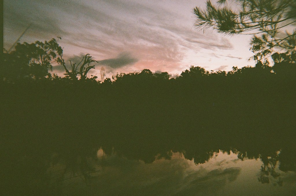
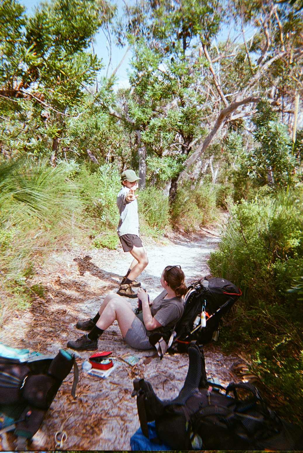
After some unexpected rain overnight, day 2 started with packing up soggy camp gear while trying to escape the mozzies. While unexpected and a bit inconvenient, it was very special hearing the rain in the rainforest overnight.
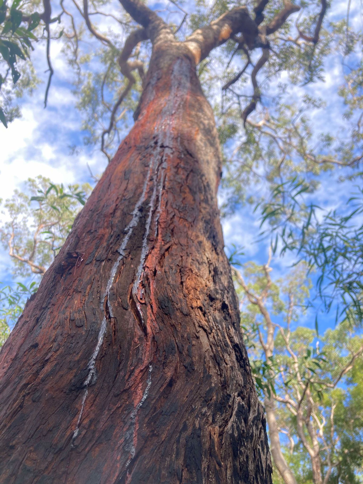
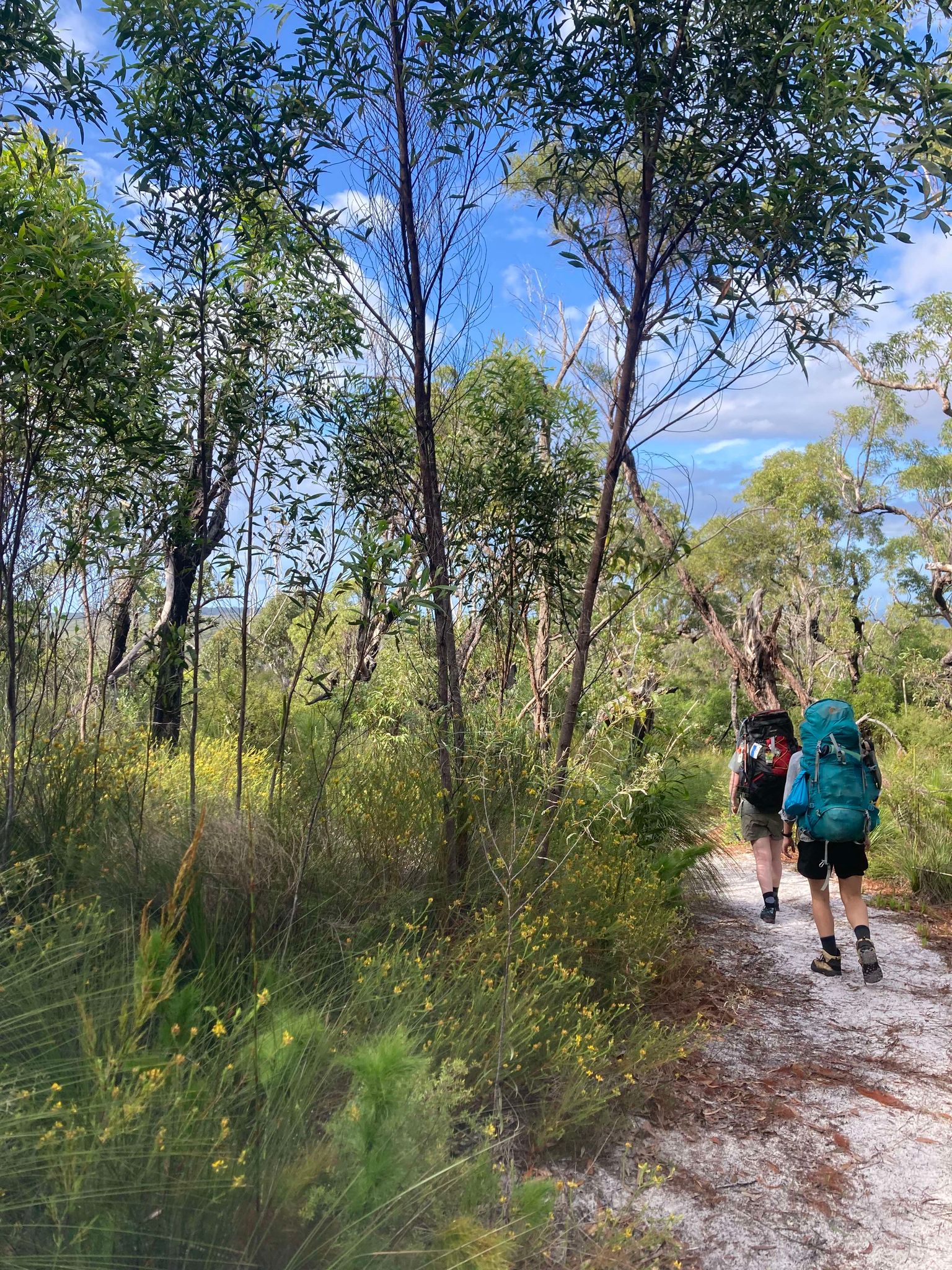
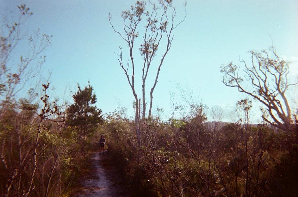
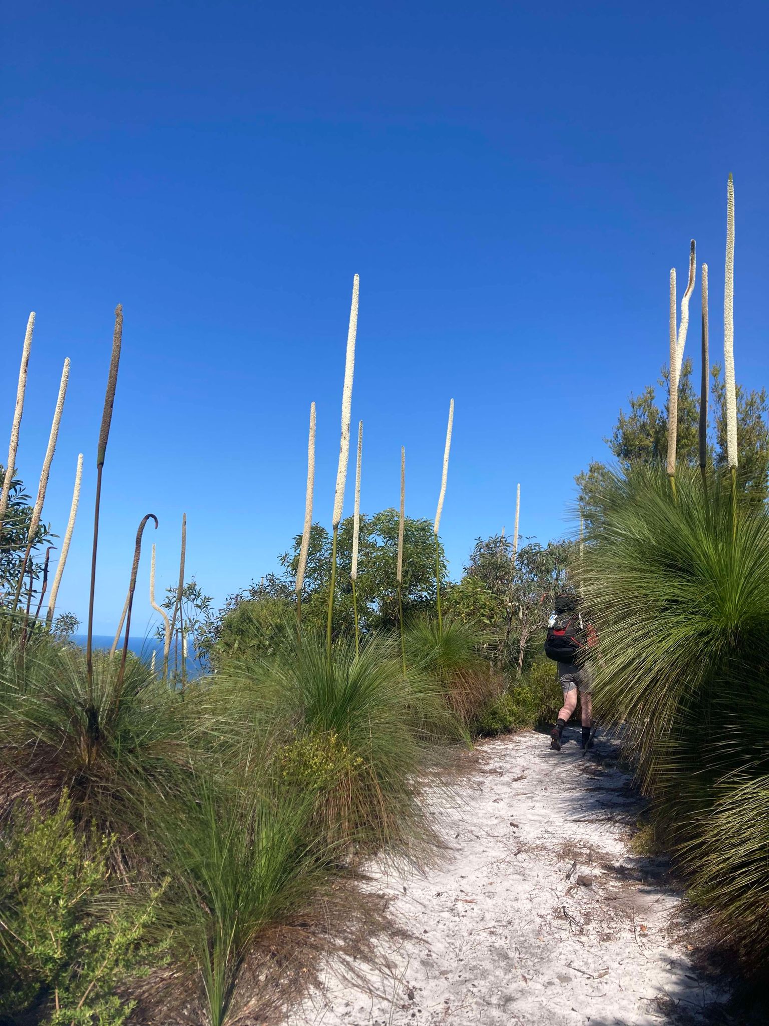
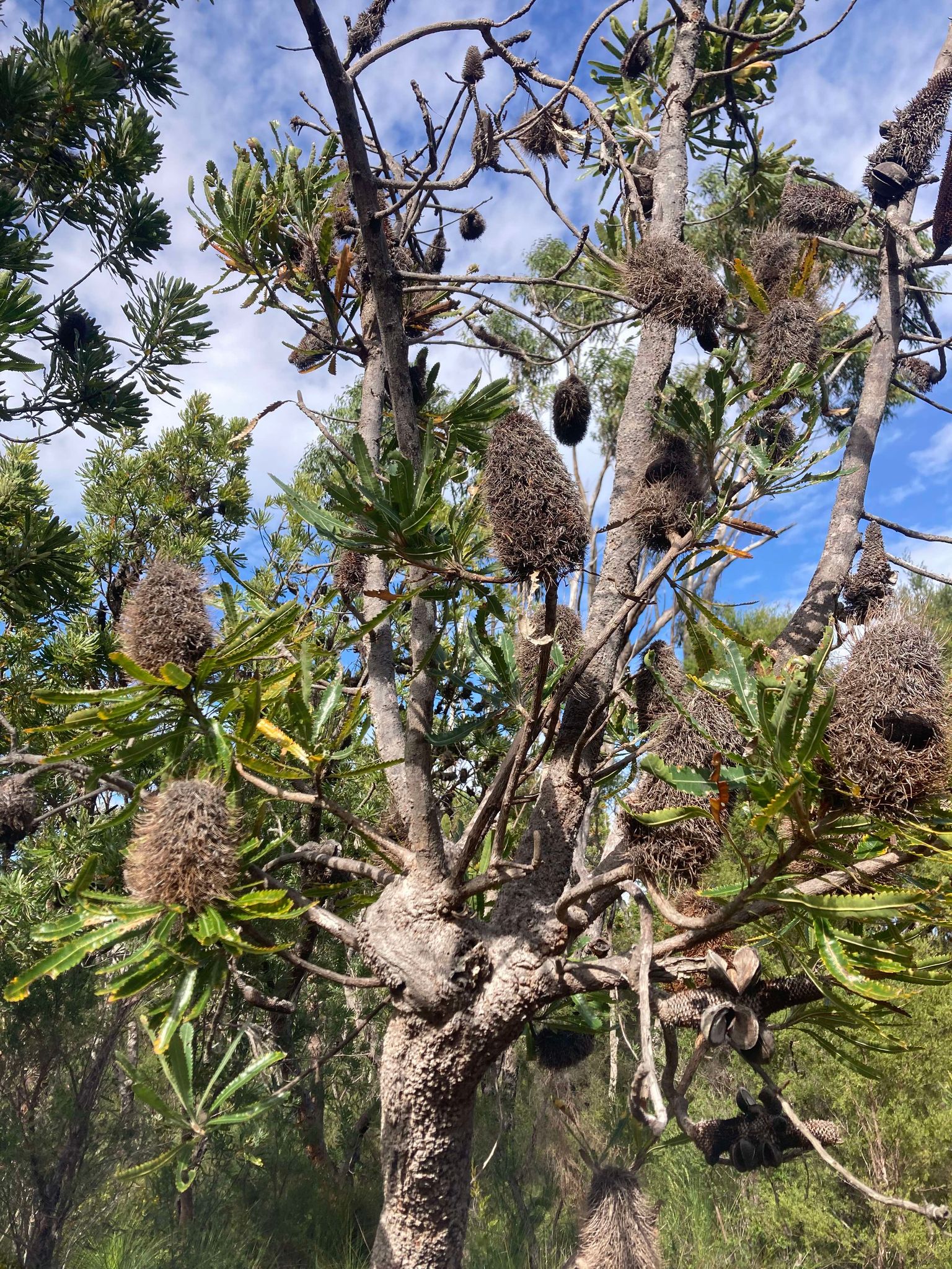
Today’s walk was what we refer to as a more ‘experiential hike’ – not many vistas or big views, but a multi-sensory walk through the rainforest experiencing the sounds, smells and cool humidity of the expansive rainforest. We found this walk beautiful with sights of strangler figs, moss, mushrooms, palms and large staghorn ferns. We dipped in and out of rainforest, sometimes entering into bush with scribbly gum and grasstrees.
Towards the end of our journey we came across Lake Cooloomera which we saw glimpses of through the trees (although no way to access the lake). The lake is not for swimming due to the ‘acid frogs’ which apparently are also well-liked by snakes. The Cooloola sedge frog, also known as litoria cooloolensis (our camp’s namesake) are only found along the coast of Southeast QLD and are marked as a threatened species (Queensland Government, 2024).
The walking was up and down all day, with some steep sections including on softer sand. We found this day long and tiring with a heavy pack, and were pleased the final section of the day was downhill to camp.
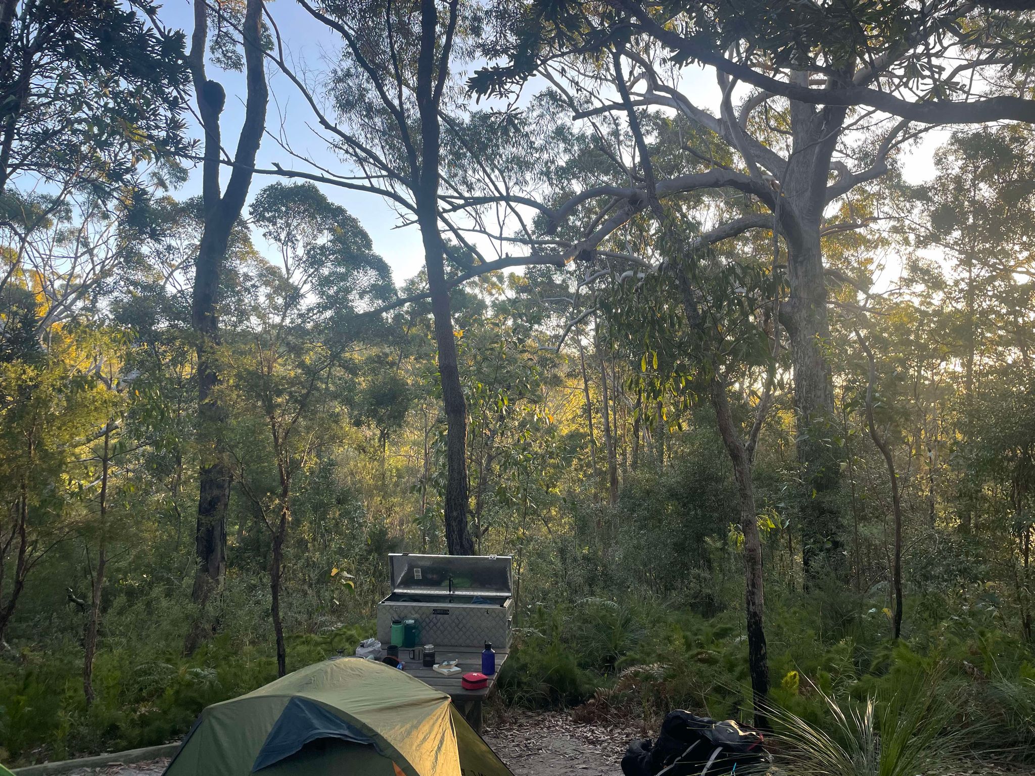
Litoria Walkers Camp:
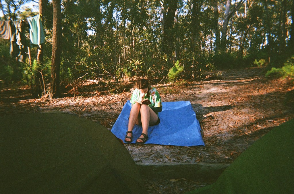
Litoria Walkers’ Camp is surrounded by eucalyptus forest and grass trees. The sites are fairly private, however there are not lockboxes at every site. We saw a beautiful sunset from this campsite, and also saw a sugar glider once the sun had set which was extra special! As usual, we had a nightly aloud reading of Mary Shelley’s Frankenstein before falling asleep to the chorus of Cooloola’s frogs.
Peaks & Pits:
PEAK: Beautiful birdsong, and stunning sunset at camp
PIT: Up and down sections
Day 3: Litoria Walkers’ Camp to Dutgee Walker’s Camp
Distance: 15km
Duration: 5.5hours
Highlights: Noosa Everglades, swimming
Animals spotted: Honey eater, blue tongue lizard, kookaburras, cockatoos
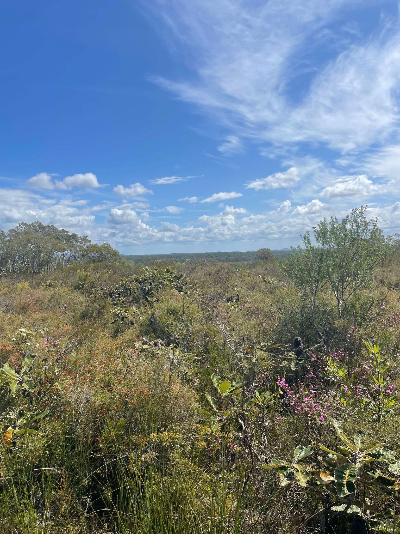
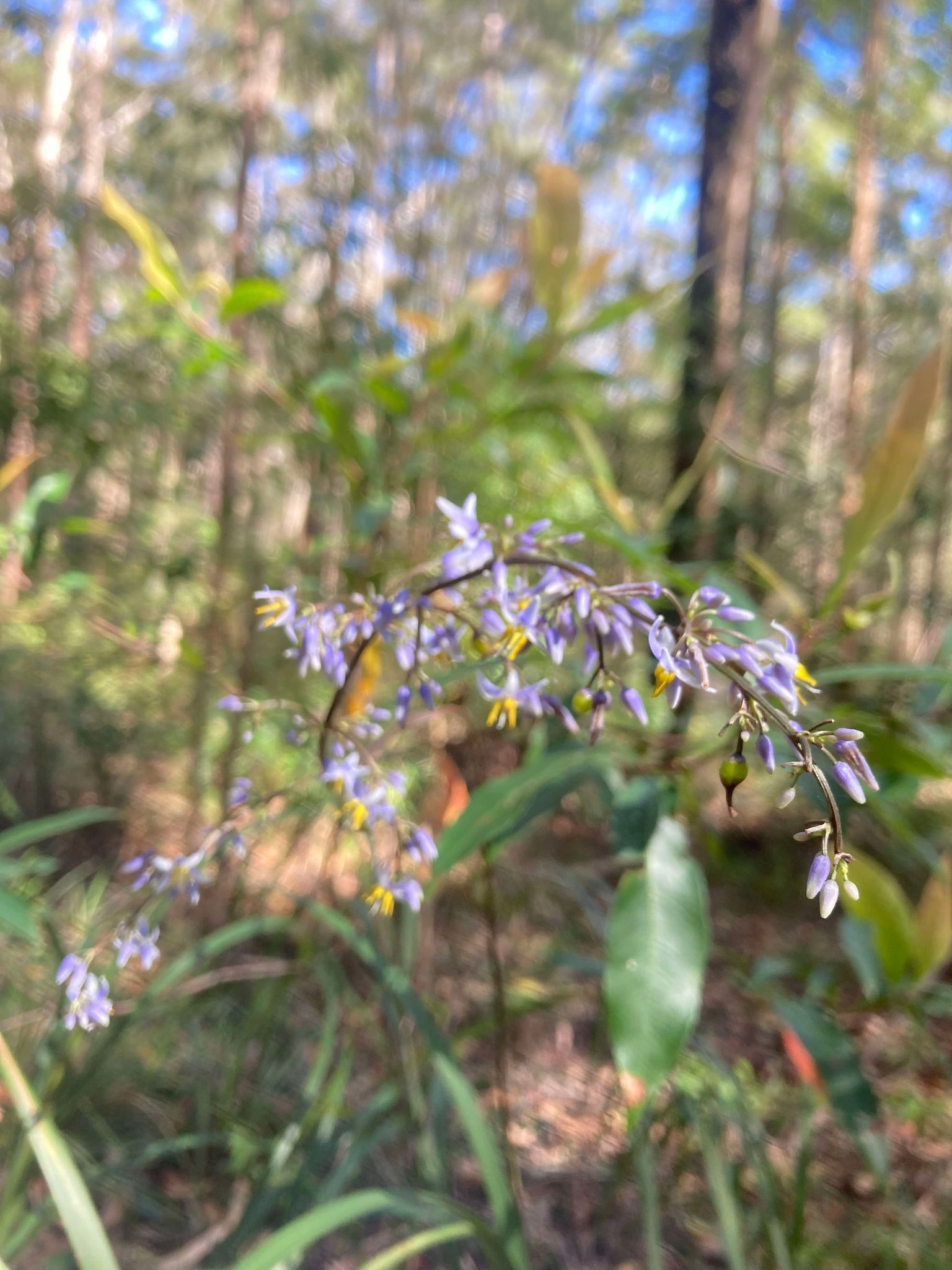
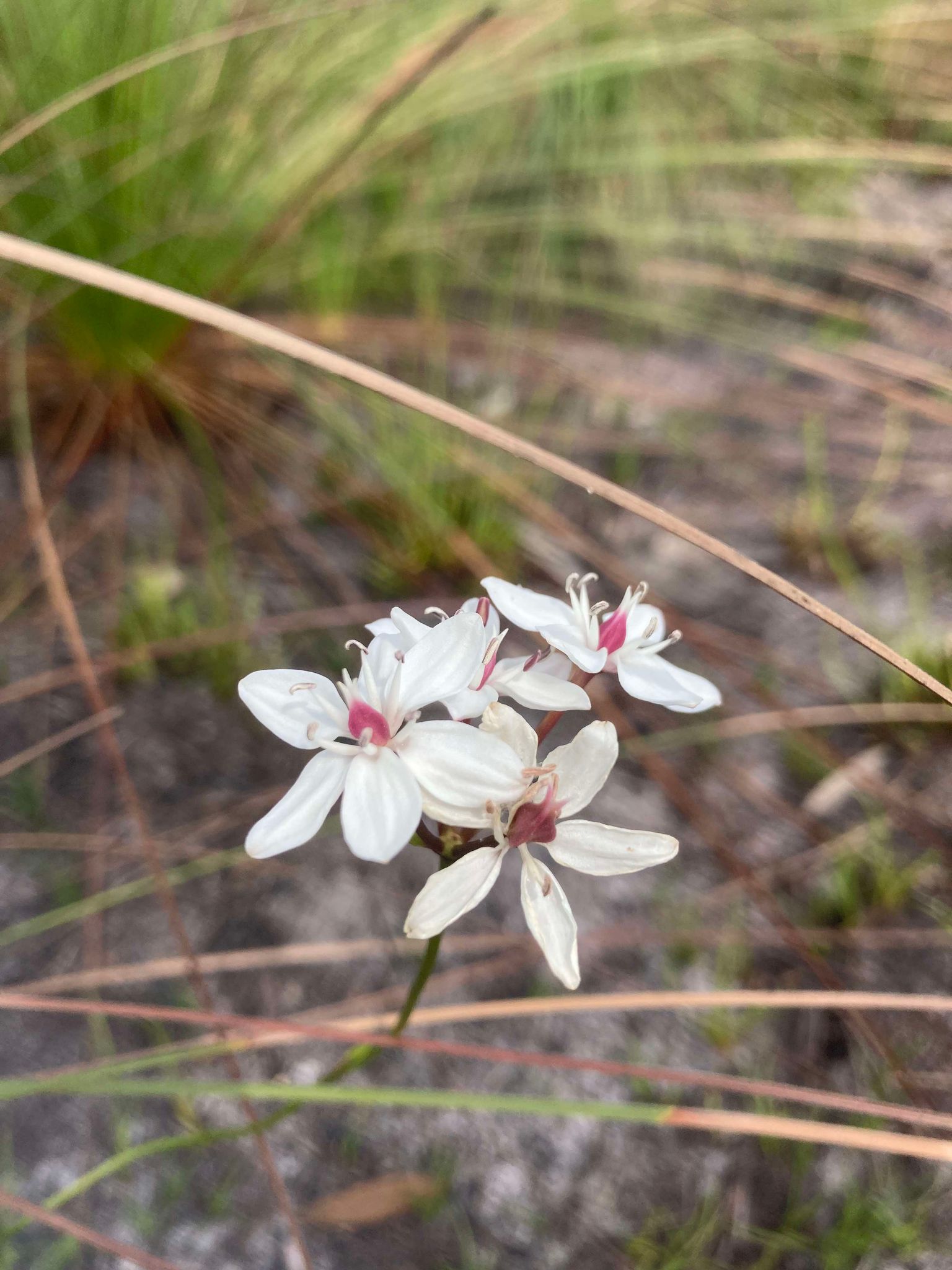
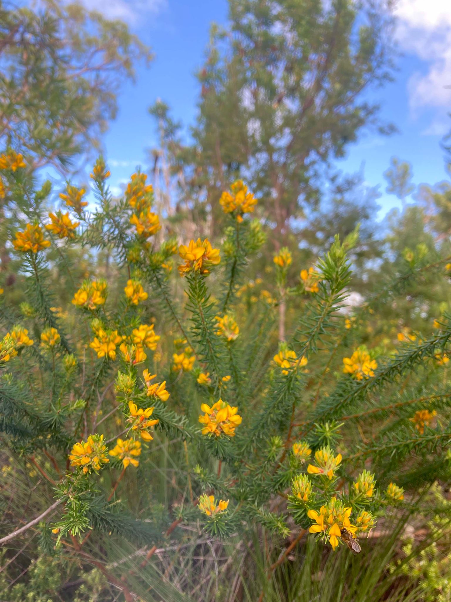
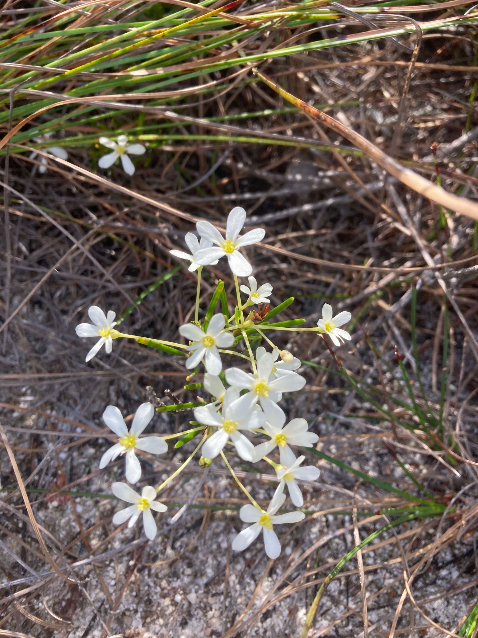
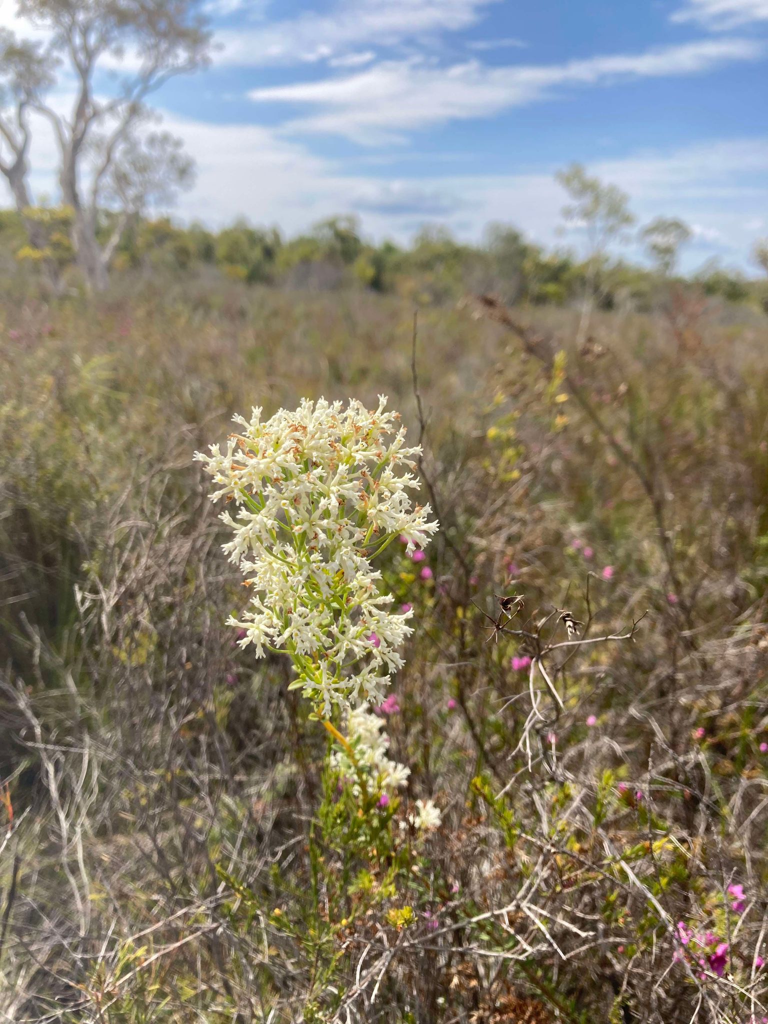
Day 3 started with lots of eucalyptus bush, peppered with colourful wildflowers and butterflies. This was a different outlook and terrain to previous days, and it felt like true spring seeing bees and a honey eater attracted to the flowering trees and wildflowers.
This walk felt hard at times with some steep uphill sections that really kicked the asthma into gear (a near asthma attack on one hill but no casualties), but once we made it up onto the ridgeline we felt the rush of a cool breeze and were gifted with some vista views. It was mostly downhill sailing from there, however parts of the day were very exposed to the sun and we’d recommend to start this day early and be prepared for some heat.
Coming into Dutgee Walker’s Camp we started to peek glimpses of the Cooloola Sandpatch and could truly appreciate its uniqueness on the horizon with bush surrounding it. We also saw stunning examples of wildflowers, including the pink-flowering boronia shrubs which are the namesake of tonight’s campsite, known by local First Nations peoples as Dutgee (Queensland Government, 2022).
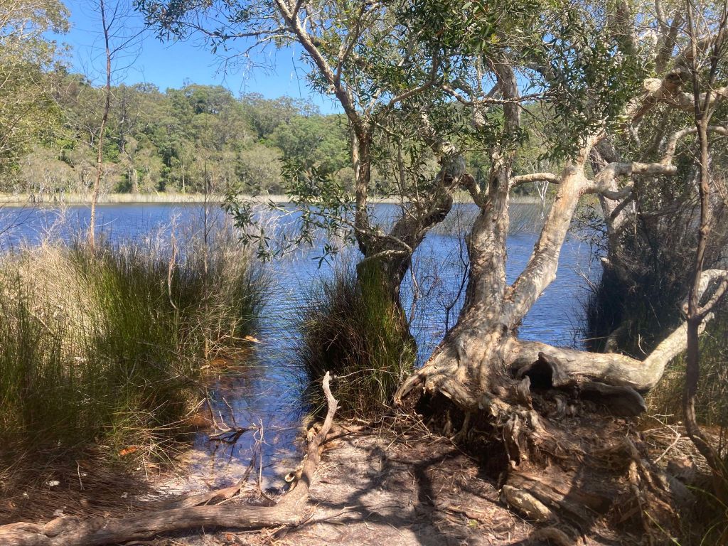
Dutgee Walkers’ Camp is based near the edge of the Noosa River in the Noosa Everglades. If you haven’t been to this part of the world before, take this moment to add it to the bucket list. The Noosa Everglades are one of only two everglades systems in the world, and is home to about 40% of Australia’s bird species (Tourism and Events Queensland, 2023).
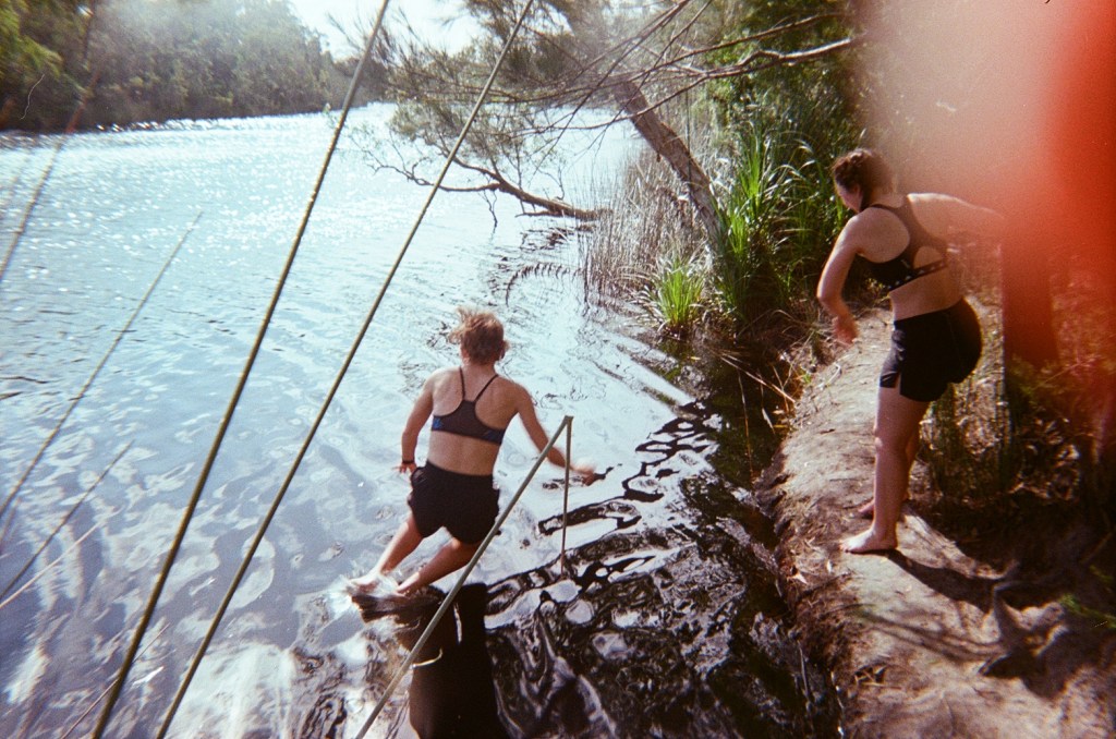
Shortly after arriving at camp we headed down to the river for a swim. The most obvious spot to jump into the river has quite a sharp drop-off, however we noticed a small informal path to the right which takes you down to a bank from which you can easily get in and out of the river. It’s not recommended to swim in the river due to bull sharks, but we really enjoyed a swim at the end of the day to feel refreshed and give our clothes a quick rinse (note it is very deep and drops off suddenly so only suitable for strong and confident swimmers).
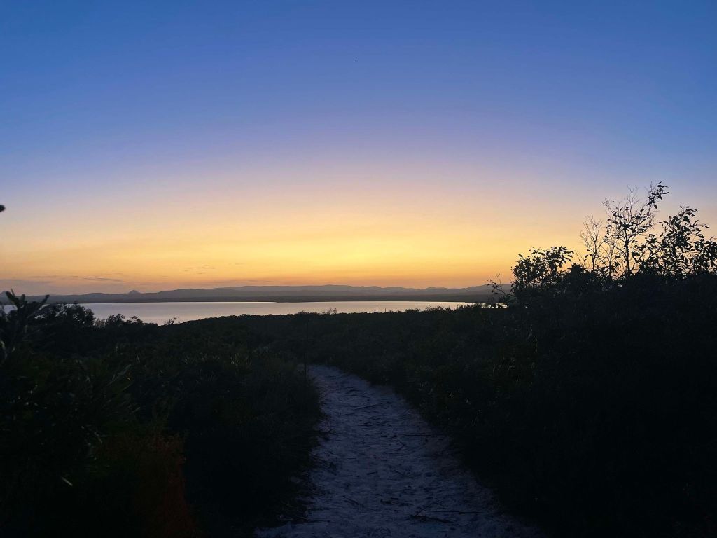
This areas is also known as the ‘river of mirrors’ due to the mirror effect created by the stillness of the tannin-stained waters. We would highly recommend sitting near the river as the sun sets, with the river turning into a perfect mirror of the sunset.
If you feel that 15km is a bit short for today, you could walk a few kilometres further and camp at one of the later camps such as Camp 3 or Camp 4, particularly if you want to make day 4 a bit shorter or give yourself more time to make it to Cooloola Sandpatch by sunrise on day 4.
We had a dinner of dhal and naan before an early night in bed.
Dutgee Walkers Camp:
Dutgee Walkers’ Camp was private and well-shaded. There was a short walk from camp down to the river and to the toilet. Most but not all sites had a lockbox. The opportunity for a freshwater swim made this campsite a standout.
Peaks & Pits:
PEAK: River swimming, beautiful still morning
PIT: Walking in the fully exposed sections of the track (hot sun)
Day 4: Dutgee Walker’s Camp to Brahminy Walkers’ Camp
Distance: 20.3km
Duration: 8hours
Highlights: Sunset, Cooloola Sandpatch
Animals spotted: Sea eagle, whales, dolphins, goanna, wallabies
Day 4 was full of pleasant surprises! We headed out early to try and make it to Cooloola Sandpatch before it was too hot. Heading out of camp we saw a soft mist lying over the Noosa River and a perfect reflection on the mist and canopy above. Day 4 starts with a walk along the river before moving into some undulating bush and exposed sections. We saw goannas, wallabies and an array of birds.
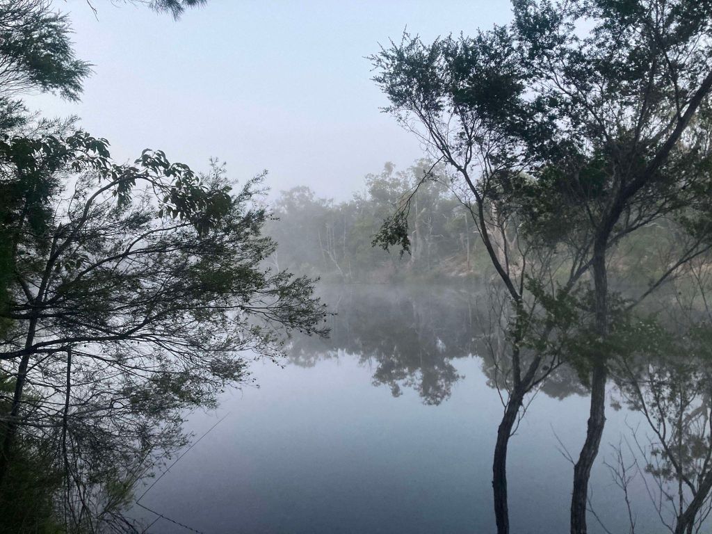
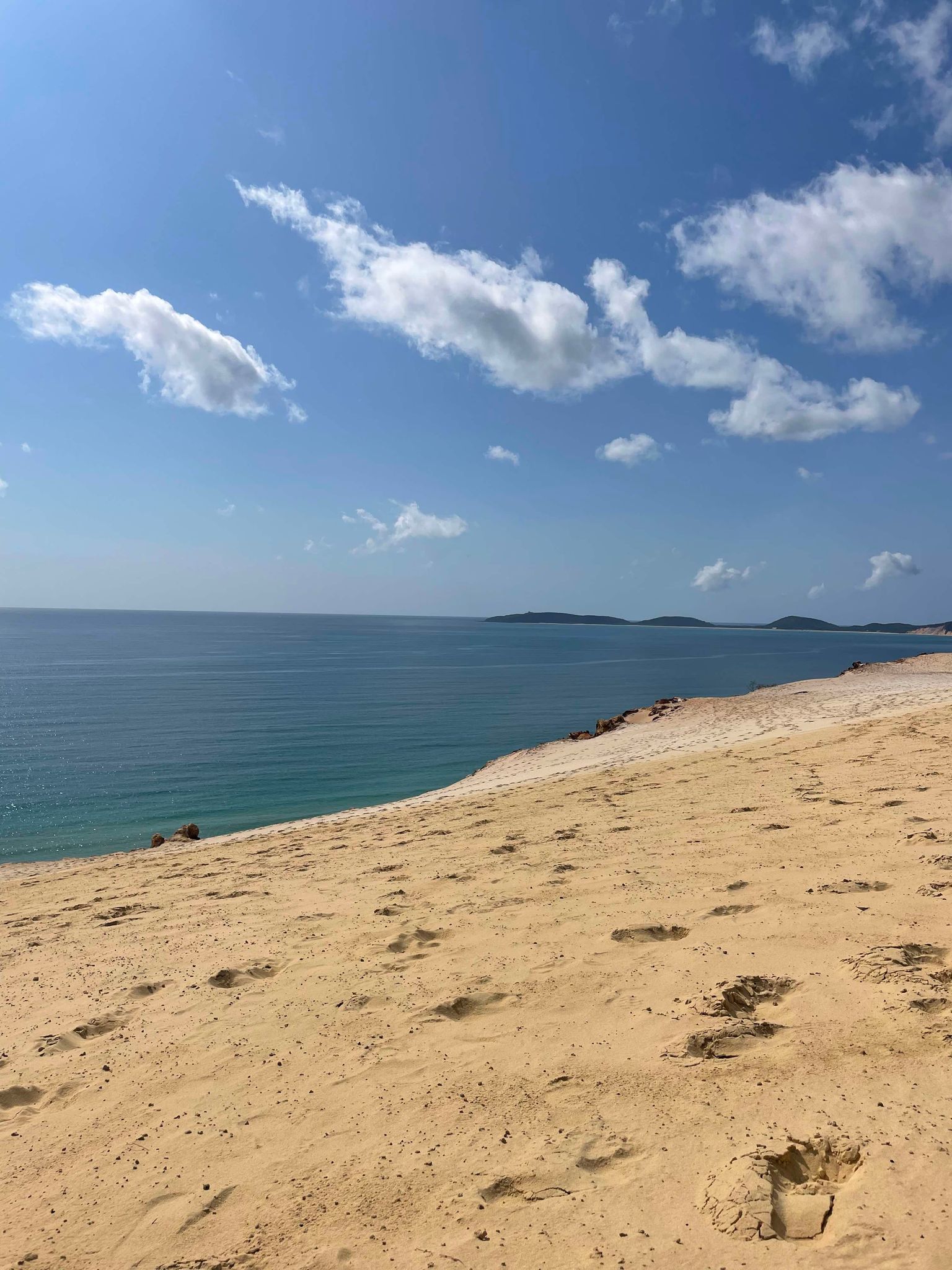
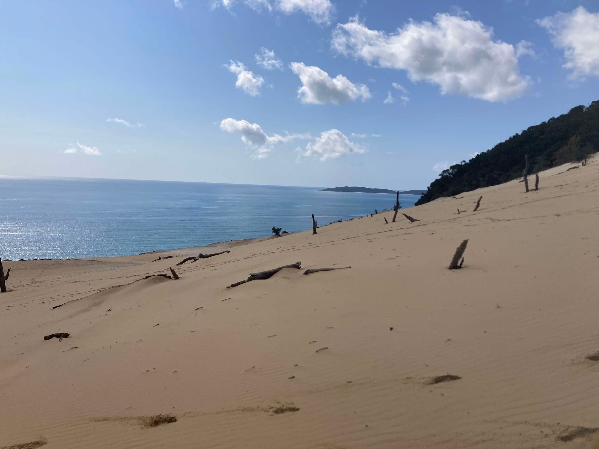
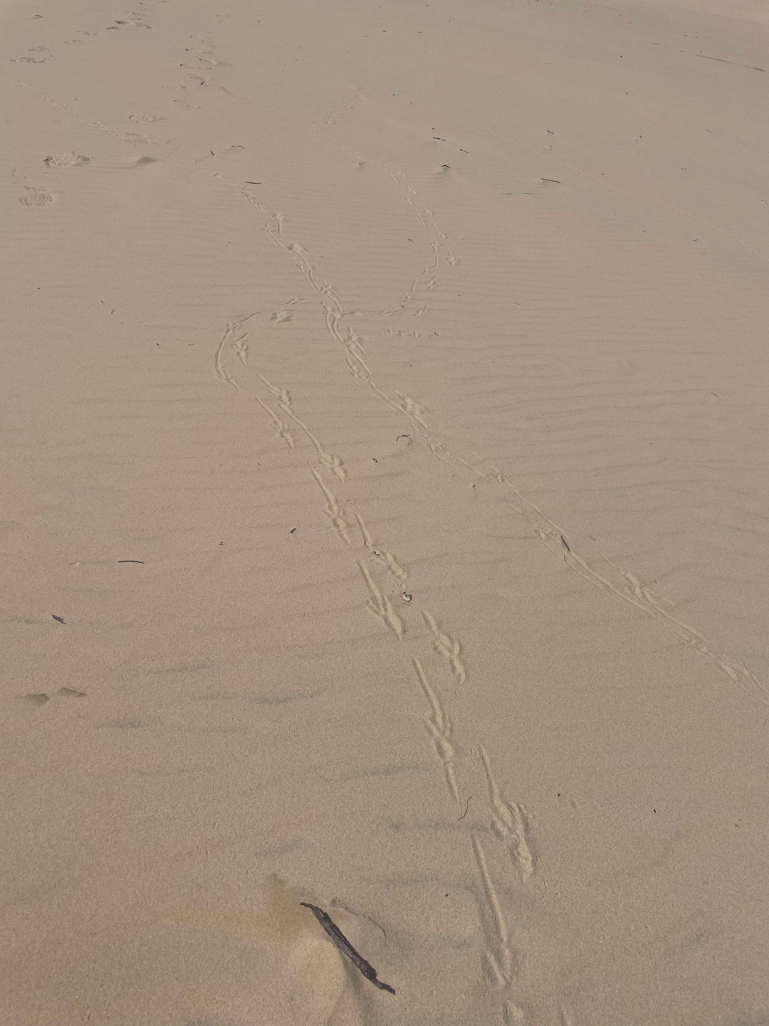
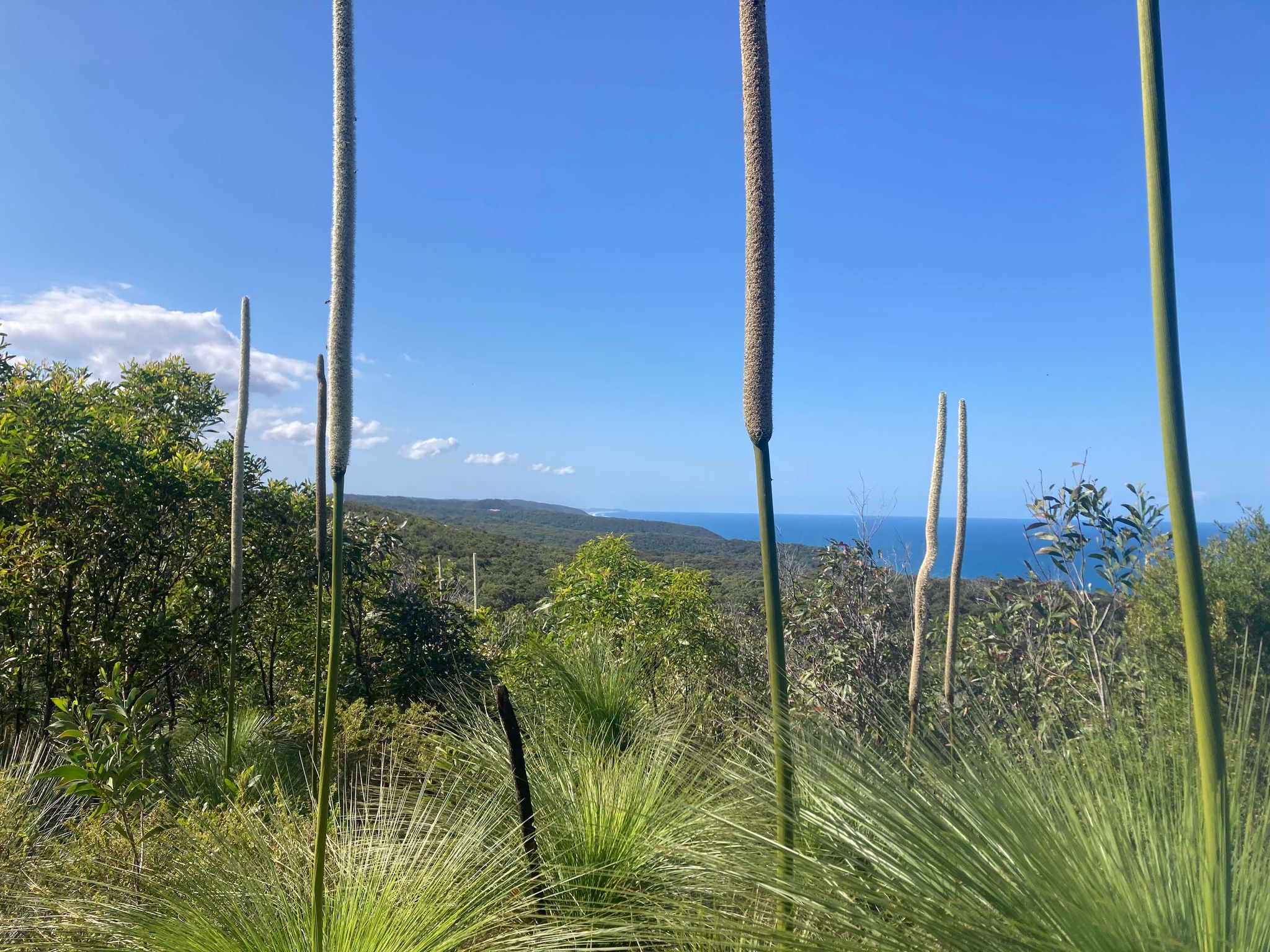
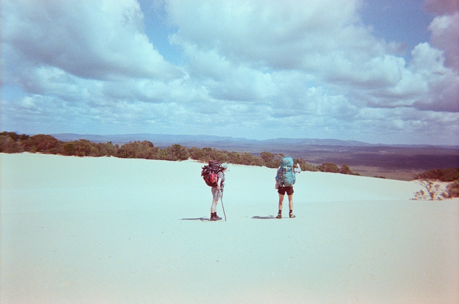
After a long and gradual uphill section, we came to the Cooloola Sandpatch. There is excellent signage at either side of the Sandpatch detailing how to navigate across. We set our compass bearing to 160.5 degrees, as instructed, and safely traversed the Sandpatch. The Sandpatch was something special, with expansive views in all directions – we even spotted migrating whales. Some of our fellow hikers chose to leave the previous camp in the middle of the night to make it to the Sandpatch for sunrise – which was reportedly spectacular. Crossing the Sandpatch is only about 1km, but is fully exposed and walking on soft sand. We were able to follow snake and goanna tracks through the sand, but most footprints from our fellow walkers from earlier in the day were already starting to disappear.

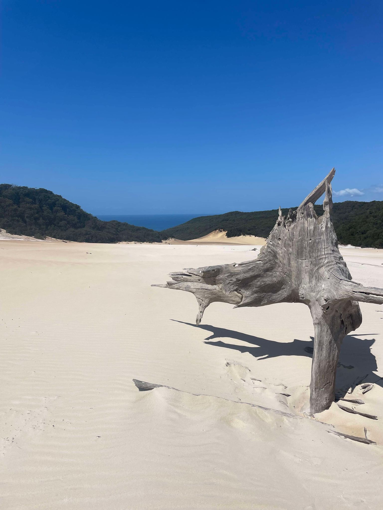
After the Sandpatch we faced several more uphill sections, however eventually the endless bush opened into 360 degree views of the ocean and around to Lake Cootharaba. This section was amazing and so different to any other section of the walk. We saw whales and dolphins from high-up on the hill, and we took our time taking photos and watching the waves roll in before descending to Brahminy. The last few kilometres to camp felt very drawn out and it was a bit of a slog, but what an amazing campsite to end the trip!
Brahminy Walkers Camp:
Brahminy is a standout campsite, with expansive views towards Lake Cootharaba and the mountains behind. This is the only campsite with more of a communal area, and we took the opportunity to crack the bottle of bourbon and watch the sunset with our fellow hikers and reflect on our trip. The one draw-back of this campsite was the mozzies which were in full force.
Peaks & Pits:
PEAK: Sunset!
PIT: Near vomit on the Sandpatch.
Day 5: Brahminy Walkers’ Camp to Tewantin
Distance: 20.1km (17.3km + 2.8km to ferry)
Duration: 7.5hr
Highlights: Beach swim, icy pole at end of the walk
Animals spotted: Sea eagle, whales, dolphins
Day 5 started with a beautiful sunrise walk with far-flung views and birdsongs. This was a hot and exposed walking day so we recommend starting early to take advantage of the cooler weather and the bonus early morning views.
After a short walk, we came to the base of Mt Seewah where we left our packs to make the 300m return trip up for some views. After Mt Seewah, we started to see glimpses of beach including a few ocean lookout opportunities. We continued walking and were expecting to come across the Teewah Landing intersection and later the Coloured Sands, which we later concluded must be bypassed by the track, as we never noticed either! We lost track of where we were on the map, and whilst the track is very clear so we never felt lost, not knowing how far we had travelled played a bit of a mental game on the last day as the trek alongside the beach dragged on. This part of the day was very hot and exposed, and also seemed like perfect habitat for snakes.
Eventually we came across the 4wd tracks, and made it onto the beach about another 300m following this. At the beach we turned right and headed along the beach section (beach cutting sections). It wasn’t long before we dropped our packs and ran for the waves to get cool which was a highlight of the day. We walked another 1.6km along the beach (with shoes off!) before seeing the wooden Cooloola Great Walk sign and heading back onto the bush track.
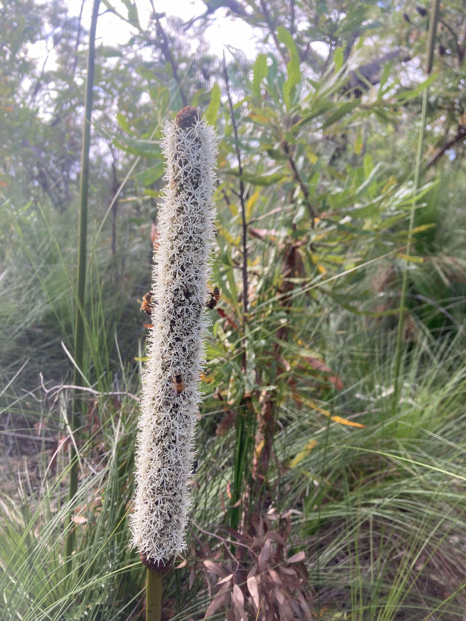
The final section of the walk is through the Arthur Harold Nature Reserve. This section couldn’t have been all that long, but it felt long by the end of day and was again very hot and exposed. However, the reserve was home to all the types of wildflowers we’d come across on our adventure and was a nice ending to the trip.
The end of the Cooloola Great Walk is a few hundred meters from the Noosa North Shore Retreat which was our first stop for an icy pole (they offer food and beer as well!). We walked to the ferry (about another 2.8km). The ferry comes every 10minutes and you can pay on board with cash or card. Our car was exactly where we left it at QPWS Office Noosa.
On our final night we booked a cabin at Ingenia Holiday Parks Noosa before making the trip to pick up the second car and head home the following day
Peaks & Pits:
PEAK: Beautiful sunrise, beach swim and amazing views out over the ocean
PIT: Very hot and exposed walking
Reflections: Peaks and Pits
Cooloola Great Walk is a beautiful hike, with a wide array of natural environments and wildlife to experience. The ocean views are incredible, and I’d highly recommend going in Spring to get the benefit of the wildflowers, as well as catching the end of whale season. This is another wonderful Great Walk to add to the list!
While this isn’t a particularly technical walk, it was challenging due to the hot weather, sections on soft sand, and lots of uphill sections. We definitely felt the effects of the heat and it made walking hard going at times. Just make sure you’re prepared for the weather, and start walking extra early if it’s supposed to be hot. We probably wouldn’t recommend this as a first multi-day, but definitely something that is achievable for people with a reasonable level of fitness and some experience.
We absolutely recommend doing the Cooloola Great Walk North to South. We felt it was probably easier in terms of walking uphill, but also we felt that the views and campsites improved throughout the trip, feeling like the trip was getting better and better each day. We also had our ocean swim on the last day. If this had been the first day we would have been salty and sandy all week, and I suspect the dreaded chafe would have reared its ugly head.
Of note, we had phone reception most days. We still took a PLB but good to be aware. The campsites all fit 2x two-person tents. It was squishy in some sites, so for more than 2 tents you may need to book 2 sites.
We’re glad we brought:
- A compass: Important for navigation across the Sandpatch.
- Sun protection: This walk was very hot in September and there were lots of exposed sections. We were very glad to have long shirts, hats and lots of sunscreen.
- Antihistamine, Dermaid and Soothe: Not sure if it was just the season, but there was an incredible amount of mozzies and march flies. It was also wildflower season and there was lots of pollen in the air. Definitely recommend taking a good first aid kit with some antihistamine in case of reactions to bites, stings or pollen.
- Clothesline – Small but mighty appreciated for hanging out wet clothing at the end of each day.
What we’d do differently:
- Bring mozzie coils
- Leave earlier in the morning on most days

Leave a comment